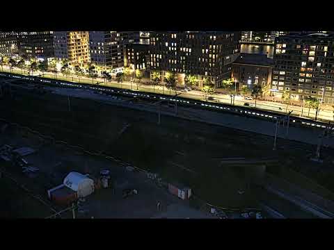
Damrak Street live
The Damrak webcam follows one of the busiest routes between Centraal Station and Dam Square. The former waterway is now an urban corridor where trams, bicycles, pedestrians, commerce and historic architecture overlap continuously.
Damrak: from historic waterway to city gateway
Damrak connects Amsterdam Centraal with Dam Square and follows the former water route of the Amstel. In the medieval period this area was closely connected with port activity and trade; by the seventeenth century Amsterdam had become one of the major centres of global commerce.
Today Damrak is one of the principal pedestrian gateways into the centre. Trams, bicycles, visitors, shops and architecture such as the Beurs van Berlage keep it in constant motion. A live camera is especially useful here because movement is the defining quality of the place.
Dam Square: the symbolic centre
Dam Square is Amsterdam's civic and symbolic centre. Damrak and Rokin converge here, beside the Royal Palace, De Nieuwe Kerk and the National Monument. Everyday movement, tourism, ceremonies and public events overlap in this space more clearly than almost anywhere else in the city.
De Nieuwe Kerk has more than six centuries of history and still has a national role connected with royal ceremonies, official gatherings and cultural events. The PTZ webcam is therefore valuable because it does not show only a monument; it follows a living urban space whose character changes through the day.
From the Amstel to the canal city
The name Amsterdam points directly to the city's origin: a settlement growing around a dam on the Amstel. The medieval core developed between the river and the IJ, with port activity, trade and transport by water. Damrak and Rokin still follow the old Amstel axis and meet around Dam Square.
From the late sixteenth century through the seventeenth, the city planned a major expansion west and south of the old centre. Herengracht, Keizersgracht and Prinsengracht were laid out in concentric arcs, while radial waterways and streets connected the new districts with the port and existing town. This was a major hydraulic and urban-planning project rather than spontaneous growth.
How to read Amsterdam through its webcams
The nine streams form a sequence. Dam and Damrak show the pedestrian core; Centraal Station and Stationseiland the principal gateway; Vijf Bruggen and PACS C11 infrastructure and works; Dijksgracht the eastern rail and waterfront zone; and the panoramic view the relationship between the city and the IJ.
Different times of day reveal different rhythms. Morning emphasises commuting and logistics, midday brings heavier visitor movement, while evening changes reflections and artificial light. Rain, wind and haze can completely alter the character of the same view.
What this live view reveals
The Damrak webcam follows one of the busiest routes between Centraal Station and Dam Square. The former waterway is now an urban corridor where trams, bicycles, pedestrians, commerce and historic architecture overlap continuously.
What to watch live
Watch pedestrian flows, trams, bicycles, Beursplein and changing light along the route toward Dam.