Jackson - Snake River Cabins live
The Snake River Cabins view moves outside downtown into the river corridor. Vegetation, water, snow and weather reveal the more open and strongly seasonal character of Jackson Hole.
Snake River: the valley's major river
Snake River runs through Jackson Hole and Grand Teton National Park before continuing toward Idaho and the Columbia River basin. Within the park it follows multiple channels through sagebrush flats, forest and mountain scenery used by a wide range of wildlife.
South of Jackson the river also supports rafting and other recreation. Webcams linked with whitewater operators and riverside lodging can reveal river level, weather, vegetation and the strong seasonal change that shapes outdoor activity.
Hoback River and the route south
Hoback River flows through a narrower mountain landscape south-east of Jackson and joins the Snake near Hoback Junction. The river corridor is also an important natural and road route connecting Jackson with other parts of Wyoming.
The Hoback webcam therefore expands the city page beyond downtown. River flow, snow, vegetation, daylight and road conditions can change quickly and demonstrate how strongly the Jackson area responds to elevation and season.
Jackson and Jackson Hole: town and valley
Jackson Hole is the name of the large valley below the Teton Range, not simply a tourism brand. Jackson is the incorporated town in the southern part of the valley and the only incorporated municipality in Teton County. This distinction matters because many attractions marketed as “Jackson Hole” lie outside the town itself.
Jackson concentrates services, restaurants, galleries, lodging and connections toward Grand Teton National Park, Teton Village, the National Elk Refuge and the roads following the Snake and Hoback rivers. The webcams capture precisely this meeting point between a small western town and a much larger mountain landscape.
How to read Jackson through its webcams
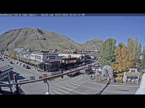
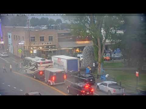
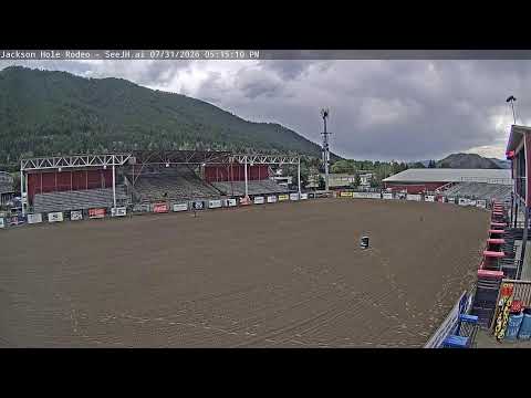
The eighteen streams work best as one system. Town Square, Cache Street and Broadway show downtown; Snow King shows the mountain; the rodeo and restaurants show social and western culture; Snake River, Hoback River and Flat Creek connect the town with the natural landscape.
Season changes everything. Winter brings snow, ice and evening lights; spring brings runoff and thaw; summer brings rafting, rodeo and heavier visitor movement; autumn quietens the town and makes the transition toward cold weather increasingly visible.
National Elk Refuge at the edge of town
Immediately north and east of Jackson lies the National Elk Refuge, established in 1912 to protect winter habitat for elk. Today it protects more than 24,700 acres of grassland and wetland and also provides habitat for bison, bighorn sheep, trumpeter swans, eagles and other wildlife of the Greater Yellowstone ecosystem.
Large numbers of elk move into lower elevations during winter, while late spring begins the migration back toward higher summer ranges. This seasonal movement explains why wildlife and open space remain so visually present even close to downtown Jackson.
Flat Creek and the northern edge of town
Flat Creek crosses the Jackson area and continues toward the National Elk Refuge. Lodging on the northern side of town looks toward more open ground and marks a rapid transition between the built centre and the wider valley.
The Flat Creek Inn webcam is useful because of this setting. Sky conditions, snow accumulation, visibility and road activity become practical indicators of real conditions on the north side of Jackson.
What this live view reveals
The Snake River Cabins view moves outside downtown into the river corridor. Vegetation, water, snow and weather reveal the more open and strongly seasonal character of Jackson Hole.
What to watch live
Watch movement, snow or water when visible, visibility, light, traffic and seasonal change.