Vilano Pier: inland water beside an Atlantic beach community
Vilano Pier belongs to the waterway side of the Vilano community north of St. Augustine’s inlet. It should not be confused with an ocean fishing pier extending through Atlantic surf. Its setting introduces the relationship between a beach settlement and the estuary behind it.
Two shores with different characters
The Atlantic frontage and the public pier offer distinct experiences within the same community. On the ocean side, breaking waves shape the strand; beside the pier, tides and boat movement influence the scene. A short movement across the settlement changes how water and land relate.
A public waterfront
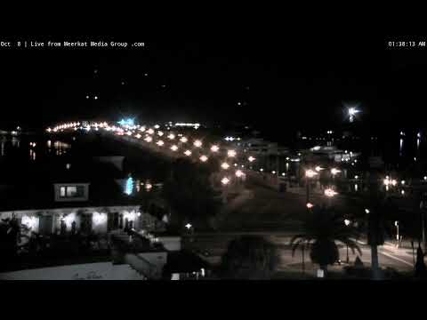
A pier walk is a way to understand the settlement from its edge, with land routes behind and navigable water beyond. Fishing and sightseeing can share the space, but permitted activities and access should be checked locally. The catalogue name does not establish the camera’s precise position.
Linking Vilano to a wider outing
Combine the pier district with the Atlantic beach and a coastal drive on A1A. The Bridge of Lions is a different crossing farther south, linking downtown to Anastasia Island. Distinguishing these routes avoids treating every bridge and beach in the area as one place.
Vilano Road and a waterfront with two ends
Vilano is particularly easy to misunderstand if the word beach is taken to mean that every waterfront faces the ocean. The pier area belongs to the inland side of the settlement, while the Atlantic shore lies across the community. Vilano Road helps organise that relationship. A visit between the two ends reveals shops, streets and residential surroundings as part of the experience, rather than treating the pier as an isolated object floating in a sea view. The difference in exposure can be apparent in the sound and movement of the water as well as in the view.
St. Johns County describes the fishing pier as lying just west of the Vilano Bridge. This is a practical local reference, distinct from downtown’s Bridge of Lions. The bridge, pier and ocean access play different roles: a through route, a waterside destination and an entrance to an exposed beach. Choose the actual facility name when arranging a meeting or transport.
Tidal margins and the nearby nature boardwalk
The county’s Vilano Beach Nature Boardwalk runs beneath the Francis & Mary Usina Bridge. It introduces another scale of waterfront observation, closer to the estuarine margin than an open-water panorama. Nearby marshes and shallow edges belong to a habitat system that can support birds and other wildlife. They are not empty ground waiting for development. Visiting a designated route helps reveal vegetation, changing water levels and the relationship between channels and land, without needing to enter fragile or privately controlled areas.
The boardwalk is a separate visitor feature, not an assertion about the camera’s field of view. Its value here is geographical: a short outing can combine a public pier with a more intimate look at the edge of the estuary. Check access before setting out, especially after severe weather or maintenance work.
A slower alternative to a monument circuit
The pier district suits an outing organised around walking, a meal and time beside the water. The wider Vilano community is known for a more casual coastal atmosphere than the compact historic centre. That does not guarantee an empty shore or a quiet restaurant at every hour. Season, weather and events change demand. The distinctive feature is the arrangement of the place: a small coastal community relates to both estuary and ocean rather than revolving around a central fortress or major museum.
For a fuller coastal day, continue along A1A only after deciding how much travel the group wants. Distances become meaningful when repeated stops, parking and beach access are involved. A good itinerary may explore one community thoroughly instead of collecting several distant beach names. The webcam subject is most useful as a starting point for understanding Vilano’s inland waterfront and its connection to that wider coast.
A coast shaped by management as well as nature
The wider Vilano and South Ponte Vedra ocean coast is the subject of coastal storm-risk and beach-management projects described by St. Johns County. This adds another dimension to a visit: the shoreline reflects both natural sand movement and public decisions about protecting a developed coast. A changed beach profile cannot be diagnosed from the pier’s inland-water setting or from one photograph. Read the county’s project information if coastal change is of interest, and distinguish the managed Atlantic beachfront from the sheltered estuary. The two sides of Vilano share a community name but respond to different physical conditions and management needs.